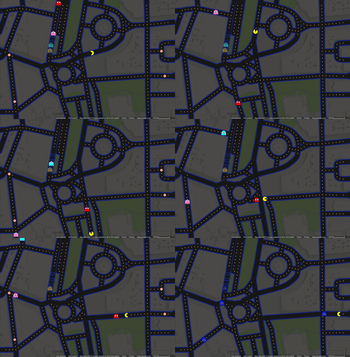
A new way to navigate the streets of Google Maps
March 31st, 2015 | Published in Google Earth
Over the years, we’ve updated Google Maps to make it more accurate, comprehensive and useful.
From imagery of the coffee shop down the road to the Taj Mahal, or turn-by-turn navigation that helps you get to your first date on time or find your way to a famous landmark...we’ve worked hard to give people the best possible experience of the world around them. And today we’re introducing our most ambitious update yet: PAC-Maps.

With local place information and Street View, it’s easier than ever before to find where you’re going but there’s never been anything to let you know where *not* to go. With this update, we’ve added imagery of dangerous virtual beings, starting with Pinky, Blinky, Inky and Clyde. When navigating fruit-filled streets, determine at a glance which turns to pass to evade ghosts and get where you’re going safely. When you’re feeling a bit peckish, you can simply gobble up a few pac-dots or a cherry and keep on nommin'. PAC-Maps makes navigating around select locations as simple as left, right, up or down.

Experience all the benefits of #PACMaps on desktop and on the latest version of Google Maps on Android and iOS. This is just the beginning, so stay tuned for more Maps fun such as zombie incident alerts and intergalactic Street View. Oh, and be sure to check out what our friends at Ingress are up to. It looks like PAC-MAN chomped his way over to the real-world!